Days are often warm; nights cool down at altitude and in forest camps — layer clothing rather than relying on a single forecast.
Long rains typically peak March–May; shorter rains appear October–November, though patterns shift year to year.

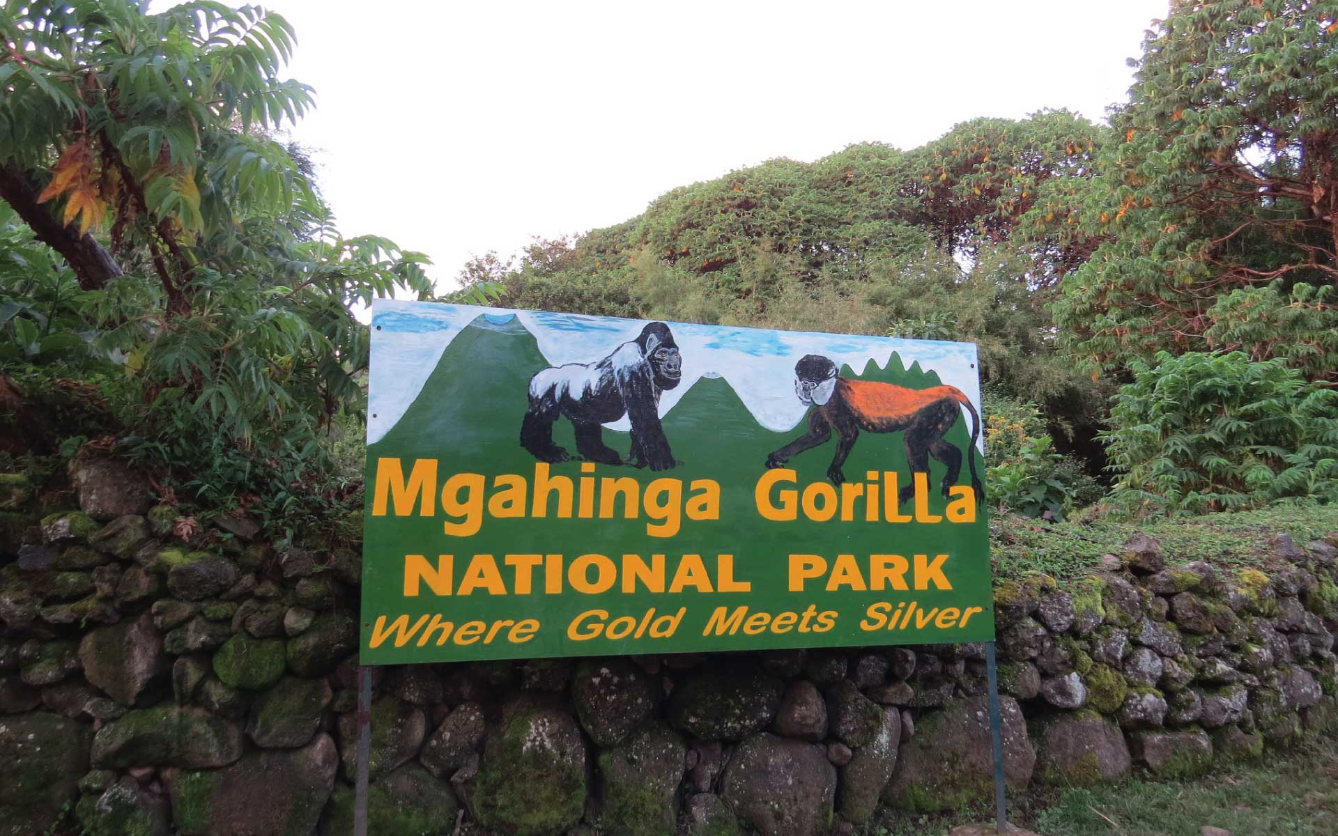
Destinations Mgahinga Gorilla National Park
Weather in Mgahinga Gorilla National Park follows broader East African patterns — two rainy seasons and two drier windows — but local altitude and forest cover can shift temperatures more than maps suggest.
Weather in Mgahinga Gorilla National Park follows broader East African patterns — two rainy seasons and two drier windows — but local altitude and forest cover can shift temperatures more than maps suggest.
Days are often warm; nights cool down at altitude and in forest camps — layer clothing rather than relying on a single forecast.
Long rains typically peak March–May; shorter rains appear October–November, though patterns shift year to year.
Rain is possible year-round; waterproof layers and dry bags for trekking gear are sensible even in “dry” months.
Entebbe (Start, End)
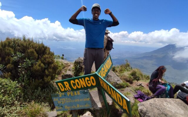
Mount Gahinga (3,474 m) is the gentlest of Mgahinga’s three Virunga volcanoes — a 6–7 hour round trip through bamboo forest to a swamp-filled crater at the summit. This 3-day Mgahinga hiking safari su…
Entebbe (Start, End)
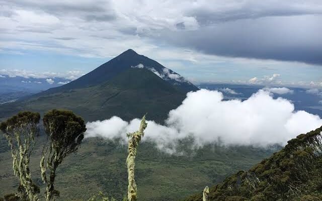
Mount Muhabura (4,127 m) — “The Guide” in local Rufumbira — is the tallest of Mgahinga’s three volcanoes and the most demanding day hike in the park. The summit holds a small crater lake and, on…
Entebbe (Start, End)
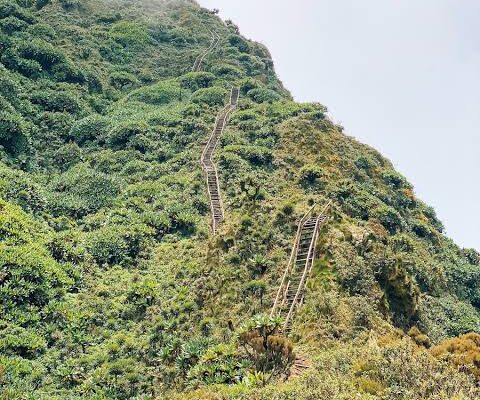
Mount Sabinyo (3,669 m) in Mgahinga Gorilla National Park is the only Virunga peak where the summit marks the junction of Uganda, Rwanda and DR Congo — you can literally stand in three countries at on…