Overview of the Laikipia Plateau
Laikipia Plateau spans roughly 9,500 square kilometres of central Kenya highland between Mount Kenya and the northern rift. Unlike KWS-managed national parks, Laikipia is a mosaic of private, group, and community conservancies where wildlife and livestock coexist under formal conservation agreements — a model increasingly cited as a global template for coexistence tourism.
Major conservancies include Lewa Wildlife Conservancy, Borana, Loisaba, Mugie, Sosian, Ol Lentille, Il Ngwesi, and Ol Pejeta Conservancy — home to critical rhino breeding programmes and the world's last northern white rhinos. Low vehicle densities, night drives, walking safaris, and horseback riding distinguish Laikipia from Kenya's public reserves.
Wildlife & Conservation
Rhinos, African wild dogs, Grevy's zebra, reticulated giraffe, elephants, lions, leopards, and cheetahs occur across the plateau. Northern arid specialists overlap with Samburu National Reserve ecosystems to the north, while elephant corridors link toward Aberdare National Park and Mount Kenya forests.
East Africa Itinerary Fit
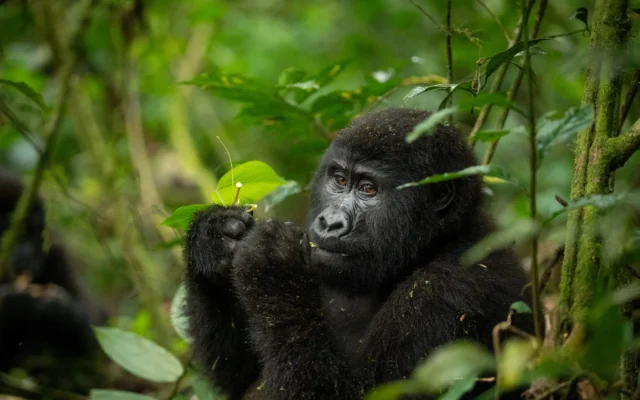
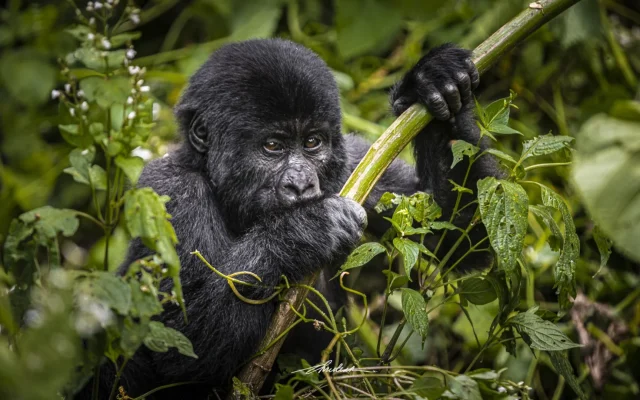
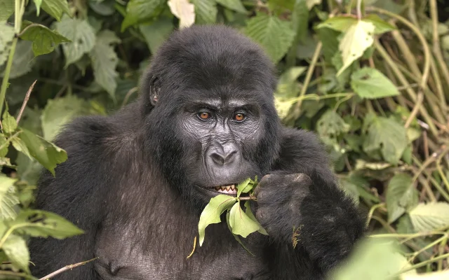
Laikipia anchors northern and central Kenya routes through Nairobi, Samburu, Mount Kenya, and Aberdare. Cross-border travellers combine the plateau with Maasai Mara National Reserve migration travel, or fly onward to Uganda and Rwanda for gorilla trekking in Bwindi Impenetrable National Park and Volcanoes National Park.
Continue planning Laikipia Plateau with Laikipia wildlife, Laikipia bird watching, Laikipia best time to visit, and Laikipia getting there, or read the main Laikipia Plateau destination guide.