Overview of Napak Region
Napak sits in the western and central Karamoja travel landscape, close enough to major overland routes to be useful, but far enough from mainstream safari patterns to feel distinct. The region is often passed through by travelers moving between Soroti, Moroto, Pian Upe, or Kidepo, yet it deserves more attention for its own combination of mountain scenery and cultural context.
Mount Napak is the region's natural focal point. Sources generally describe it as the third-highest mountain in Karamoja, with elevations cited around 2,520 to 2,538 meters. The mountain is known for steep slopes, thick vegetation in sections, rocky upper approaches, and broad summit views over the Karamoja plains. It is a serious hike, especially in heat or after rain, and should be attempted with experienced local guides.
Beyond the mountain, Napak is also part of a wider geological story. The district has been recognized for early Miocene fossil significance, giving the region educational potential alongside adventure travel. While most visitors will come for scenery, hiking, and culture, the fossil heritage adds an unusually deep time perspective to the landscape.
Why Visit Napak Region?
Napak appeals to travelers who like places that still require interpretation. It is not a destination where every viewpoint is signposted or every trail is formalized. Instead, visitors rely on guides, community knowledge, and careful planning. That makes the experience more demanding, but also more personal.
Mount Napak Hiking
The headline activity is a guided Mount Napak hike. The route commonly begins from the Iriiri side or nearby foothill communities, then climbs through cultivated margins, woodland, rocky sections, and steeper summit terrain. Strong hikers may complete the climb with an overnight plan or a long day depending on route, season, and guide assessment.
Karamoja Cultural Context
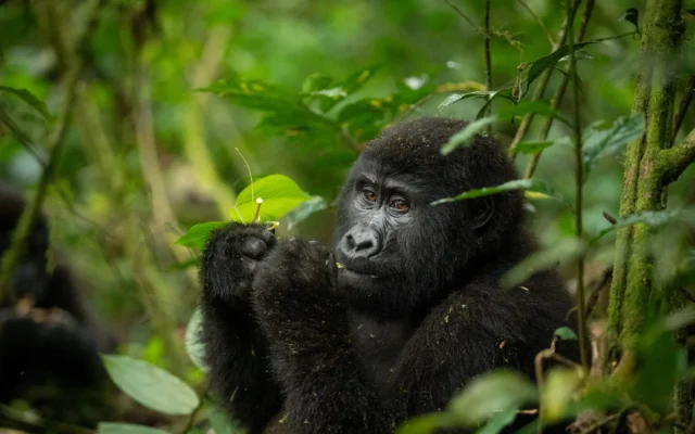
The fertile foothills and surrounding plains are home to Bokora and wider Karamojong communities. A responsible Napak itinerary can include village visits, homestead interpretation, market experiences, local food, craft, and discussions about changing pastoral life. These visits should be arranged through trusted guides so that hosts are respected and paid fairly.
Pian Upe and Southern Karamoja Links
Napak sits naturally on routes to Pian Upe Wildlife Reserve and Mount Kadam. It can be used as a stepping stone between eastern Uganda's Mount Elgon-Sipi corridor and the Karamoja interior, making it useful for travelers building a longer adventure circuit.
Trekking, Safari, and Culture Route Planning
A practical Napak route often starts from Moroto or Soroti. Travelers may spend a night near the trailhead, climb Mount Napak with local guides, then continue to Moroto for Mount Moroto and community activities, south to Pian Upe and Mount Kadam, or north toward Kidepo. Avoid planning the mountain as a quick roadside stop; the climb deserves proper hydration, early departure, and contingency time.
For safari travelers, Napak works best as part of a longer Karamoja route. Pair it with Pian Upe for wildlife and rock art, Mount Kadam for a tougher southern highland adventure, Moroto for services and cultural travel, and Kidepo for big wilderness game drives.
Safety and Responsible Travel
Use local guides for mountain routes and community visits. Carry sun protection, sufficient water, sturdy footwear, basic first aid, and layered clothing for cooler higher elevations. Respect photography boundaries, avoid entering homesteads without invitation, and follow local advice on where to walk, camp, and drive.
Because tourism infrastructure is still emerging, flexibility is part of the experience. Confirm accommodation, food, guide fees, porter support, and vehicle access in advance.
The region's signature volcanic mountain, known for steep hiking, changing vegetation, and panoramic Karamoja views. See Mount Napak for route ideas.
A nearby savannah reserve that adds wildlife drives, dry-country birding, rock art, and southern Karamoja scenery.
A challenging volcanic mountain near Nakapiripirit, often paired with Napak on deeper Karamoja trekking routes.
Continue planning Napak Region with Napak Region wildlife, Napak Region bird watching, Napak Region best time to visit, and Napak Region getting there, or read the main Napak Region destination guide.