How to get to Bokora Wildlife Reserve
Most travelers do not drive to Bokora Wildlife Reserve as a casual day trip from Kampala. The reserve sits in the Karamoja Region between Matheniko Wildlife Reserve and Pian Upe Wildlife Reserve, with Moroto often serving as the practical cultural and logistics base. Reaching Bokora means committing to a Karamoja overland route — private 4x4, experienced driver-guide, fuel margin, food, water, and local coordination.
From Moroto and the Karamoja base
From Moroto, Bokora access is planned as part of a wider reserve circuit rather than a single signed gate like Murchison Falls National Park. Your operator or guide selects loops based on current road condition, security advice, weather, and whether you are linking Matheniko before or after Bokora. Drive times vary widely — treat published estimates as guides, not guarantees.
Moroto adds cultural depth: craft stops, mountain views toward Mount Moroto, and community-guided experiences that give Karamoja context before or after reserve drives. Many travelers fly or drive long distances to reach Moroto first, then slow down for Bokora rather than attempting a rushed there-and-back from the capital.
From Kampala and eastern Uganda
Overland journeys from Kampala to Karamoja are long — commonly involving multi-day routing through eastern Uganda, possible stops near Mount Elgon or Sipi, and overnight breaks before reserve country. Same-day Kampala-to-Bokora attempts are unrealistic for meaningful wildlife time.
Travelers approaching from Pian Upe or Mount Elgon region may enter the Bokora corridor as part of a northbound wilderness extension toward Kidepo Valley National Park. That sequencing — Pian Upe or Matheniko, then Bokora, then Kidepo — is often more logical than treating Bokora as an isolated detour.
Self-drive vs guided expedition
Independent self-drivers with Karamoja experience occasionally reach Bokora margins, but most international visitors book a guided Karamoja safari. Remote tracks, limited services, variable mobile coverage, fuel planning, and current access advice favor operators who run these routes regularly.
Guided arrangements help with timing, community etiquette, wildlife viewing distances, and recovery when tracks deteriorate after rain. First-time Karamoja visitors should not underestimate how much navigation and negotiation a corridor reserve requires compared with mainstream national parks.
What the final leg looks like
The signature Bokora experience is a guided wilderness drive across semi-arid plains — not a manicured game-track loop. High-clearance 4x4 is essential. Carry sun protection, dust protection for cameras, drinking water, and basic recovery expectations. The last miles may be slow by necessity; rushing defeats the purpose of remote travel.
Do not assume fuel, food, or mechanical support inside the reserve. Plan margins in Moroto or agreed supply points along the wider Karamoja route.
Fly-in gateways and multi-day eastern approaches
Some Karamoja itineraries open with a domestic flight toward Moroto or with road approaches via eastern Uganda through Mount Elgon and Sipi rather than a non-stop push from Kampala. Flying reduces seat time but still leaves Bokora as a guided ground expedition — there is no airstrip inside the reserve, and charter arrangements rarely replace the need for a capable 4x4 once you are in pastoral country.
Fuel planning deserves explicit conversation before departure. Top up in towns where pumps are reliable, carry contingency only if your operator advises it, and never assume card payments work at remote stations. Recovery time after a muddy section is measured in hours, not minutes; build Karamoja legs with that reality instead of copying mainstream park timetables from Murchison or Queen Elizabeth marketing pages.
Community routes, checkpoints, and guide coordination
Bokora access crosses pastoral land where livestock movement, seasonal grazing agreements, and local security guidance shape which loops are open on a given week. Experienced Karamoja guides negotiate these realities daily; independent travelers without local relationships should not treat online map distances as permission to drive reserve margins unannounced. Brief respectfully at homesteads, follow guide advice on photography near people and cattle, and confirm the day's route the evening before rather than at dawn without a plan.
Combining transport with other Karamoja sites
Logical pairings include Matheniko, Pian Upe, Moroto cultural stops, Mount Napak and Mount Kadam landscapes, and Kidepo as a stronger wildlife finale. Each leg has different timing rules — build the itinerary around confirmed guide availability and dry-season access, not a theoretical map distance.
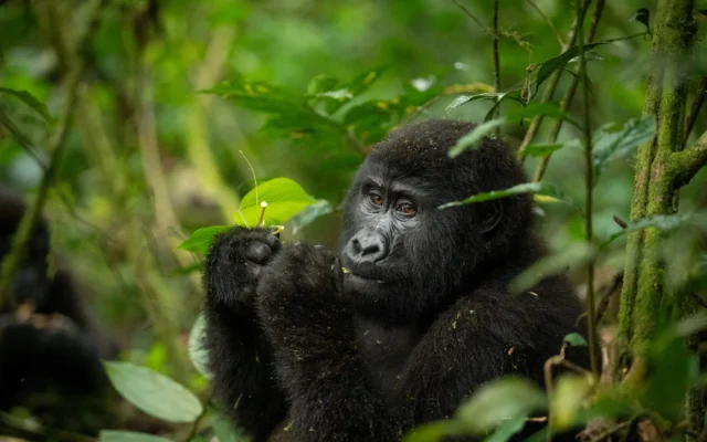
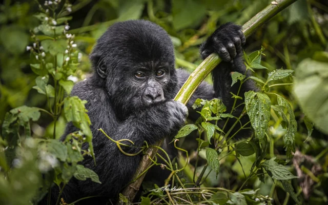
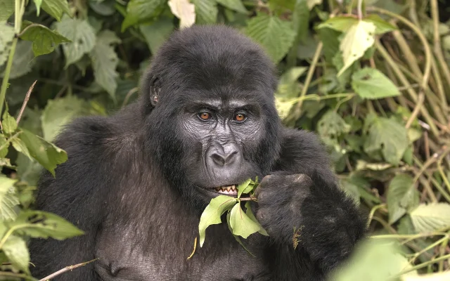
Seasonal access notes sit on our Bokora Wildlife Reserve best time to visit page. Species context is on wildlife and bird watching.